- Filter By:
-
-
Stock photos and images of username:drmglc
Beauty young red-haired woman brings up a human heart
Stock PhotoUsername
drmglcResolution
3334x5000pxBeauty young red-haired woman brings up a human heart


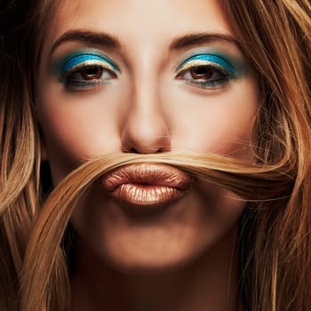
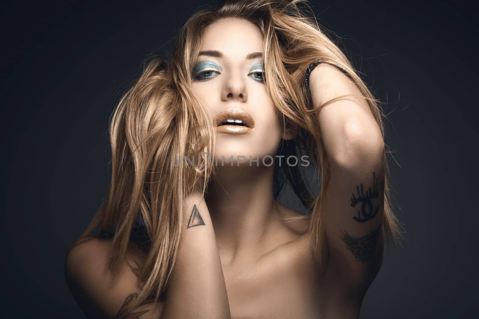
Beauty closeup portrait of young sexy woman
Stock PhotoUsername
drmglcResolution
3205x3205pxBeauty closeup portrait of young sexy woman

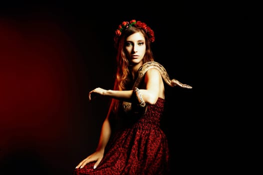
Attractive red haired woman posing with a boa constrictor
Stock PhotoUsername
drmglcResolution
5877x3918pxAttractive red haired woman posing with a boa constrictor
Beauty portrait of young sexy woman
Stock PhotoUsername
drmglcResolution
5134x3423pxBeauty portrait of young sexy woman

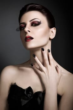
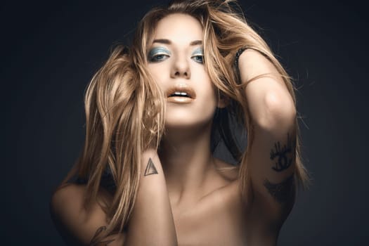
Beauty closeup portrait of young sexy woman
Stock PhotoUsername
drmglcResolution
4123x2749pxBeauty closeup portrait of young sexy woman

Beauty closeup portrait of young sexy woman
Stock PhotoUsername
drmglcResolution
2405x2405pxBeauty closeup portrait of young sexy woman
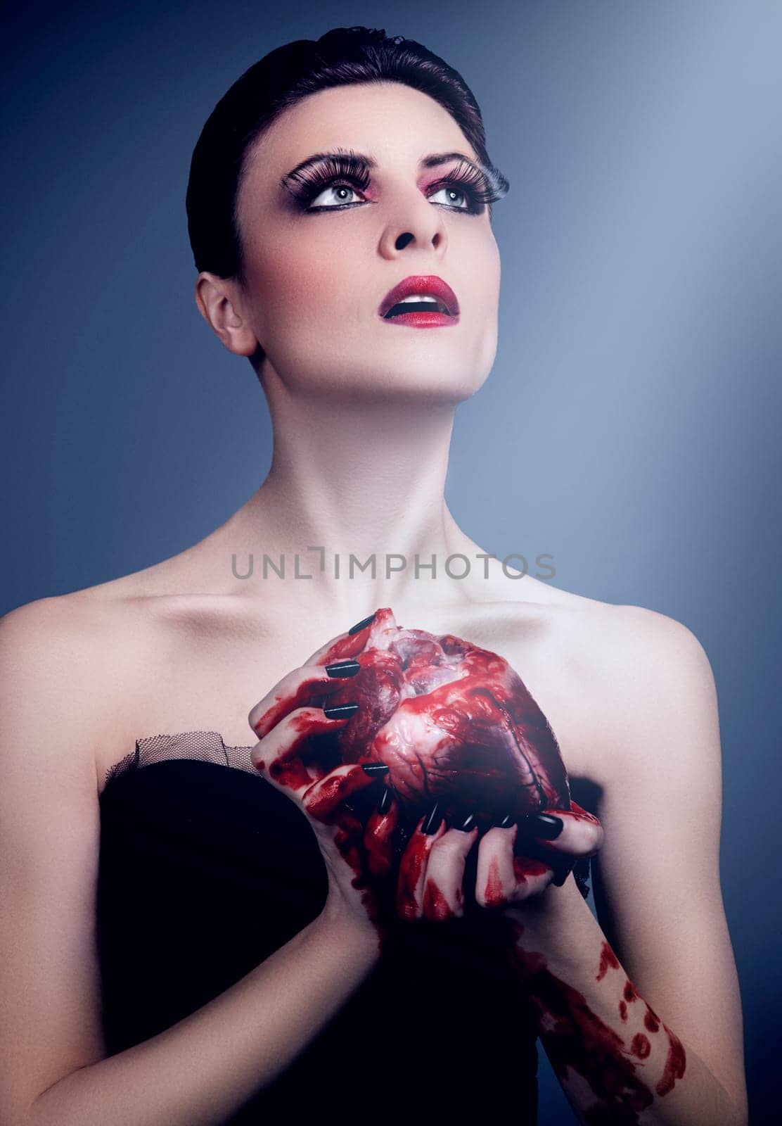
Beautiful young woman holding a bloody human heart
Stock PhotoUsername
drmglcResolution
3710x5338pxBeautiful young woman holding a bloody human heart


Glamour portrait of young red haired woman
Stock PhotoUsername
drmglcResolution
4800x7200pxGlamour portrait of young red haired woman
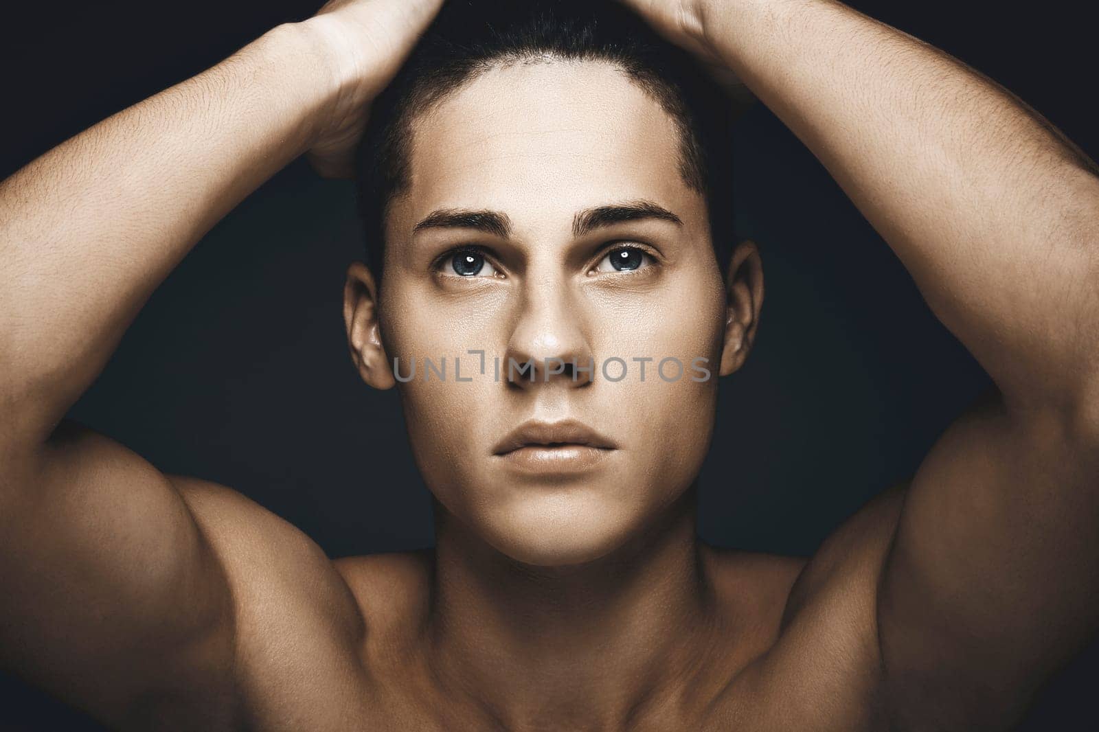
Beauty portrait of young handsome man
Stock PhotoUsername
drmglcResolution
5866x3911pxBeauty portrait of young handsome man
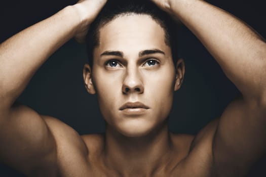

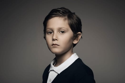
Handsome kid portrait looking at camera
Stock PhotoUsername
drmglcResolution
5866x3911pxHandsome kid portrait looking at camera
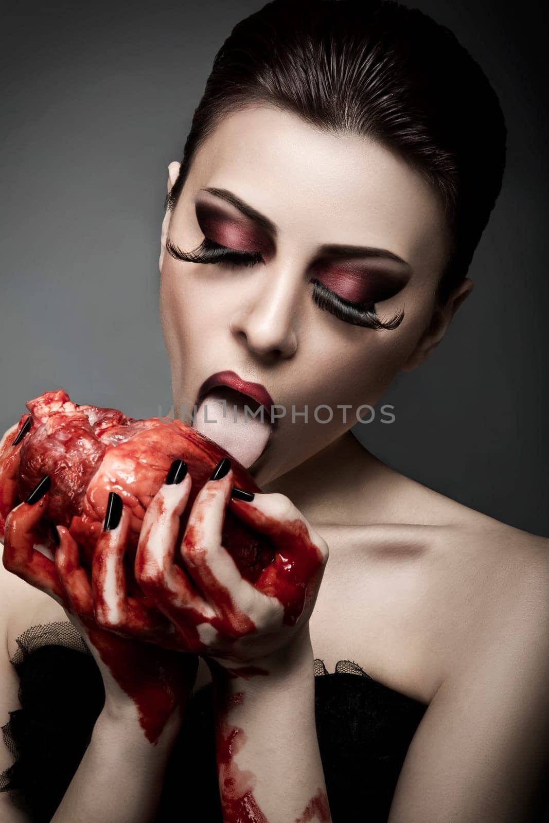
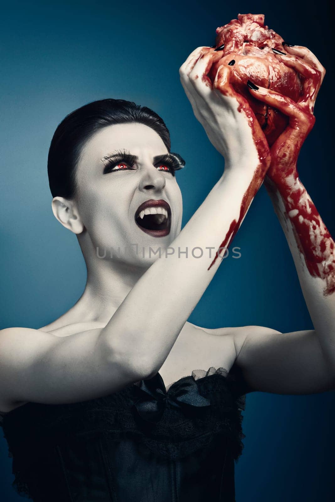
Beauty young woman licks blood from human heart
Stock PhotoUsername
drmglcResolution
3840x5760pxBeauty young woman licks blood from human heart

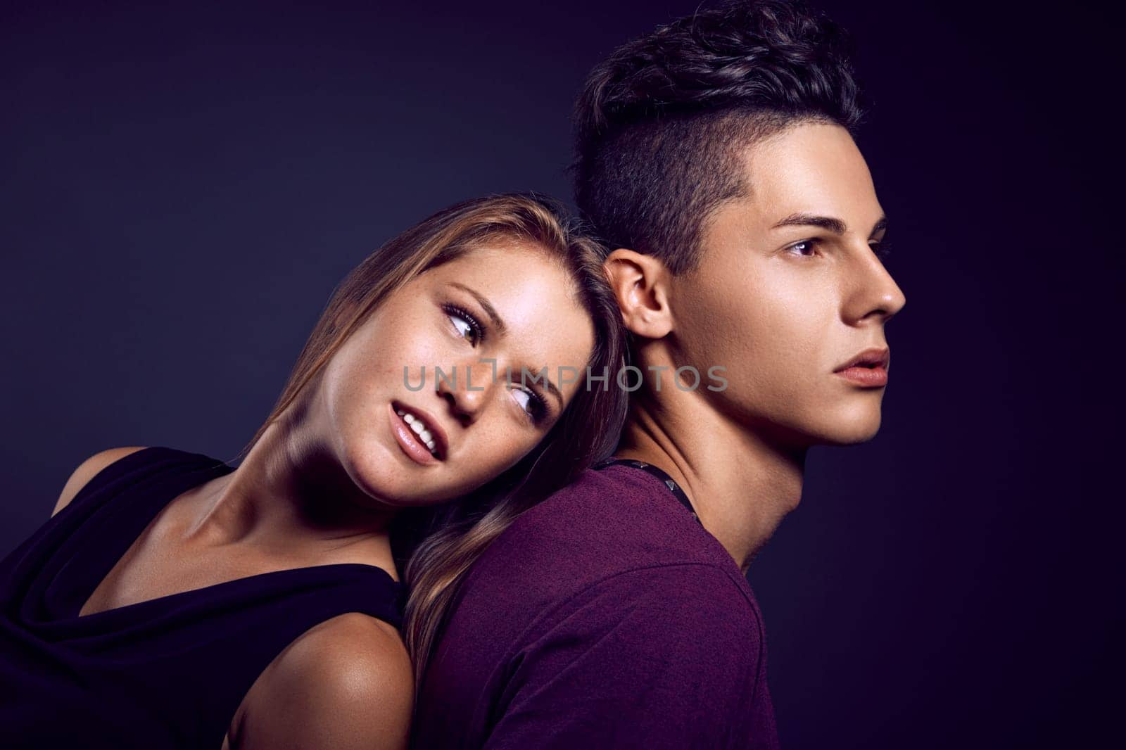
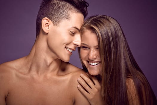
Fashion portrait of young beautiful couple
Stock PhotoUsername
drmglcResolution
5866x3911pxFashion portrait of young beautiful couple

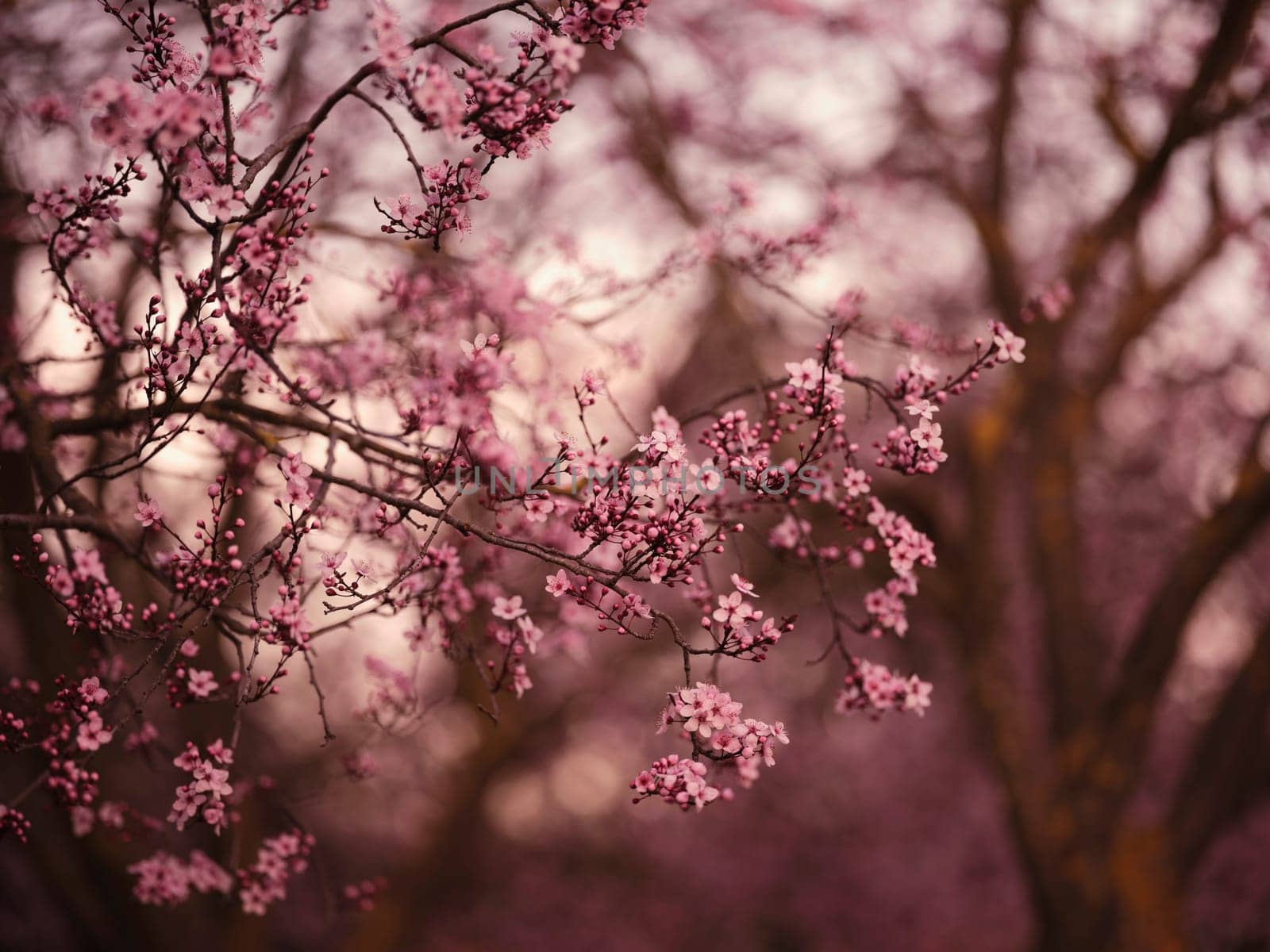
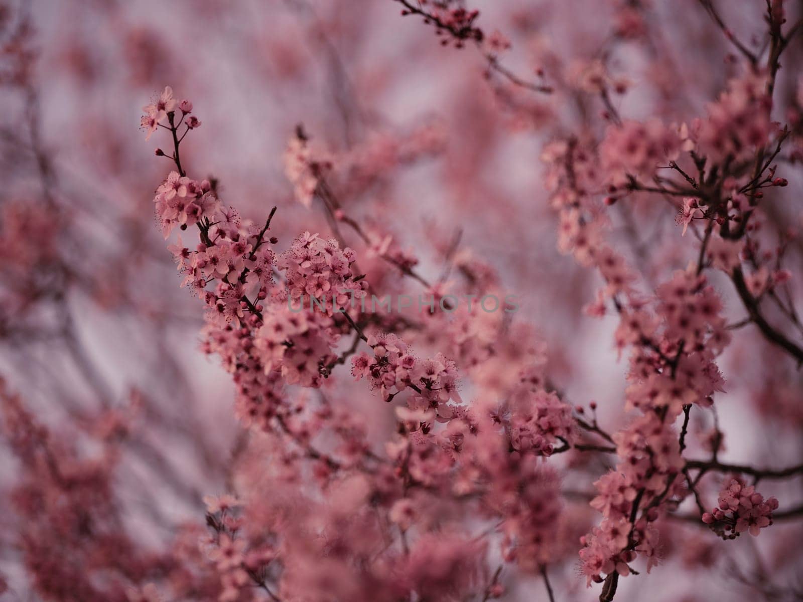
beautiful cherry blossom in spring
Stock PhotoUsername
drmglcResolution
8256x6192pxbeautiful cherry blossom in spring

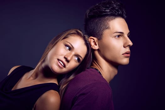
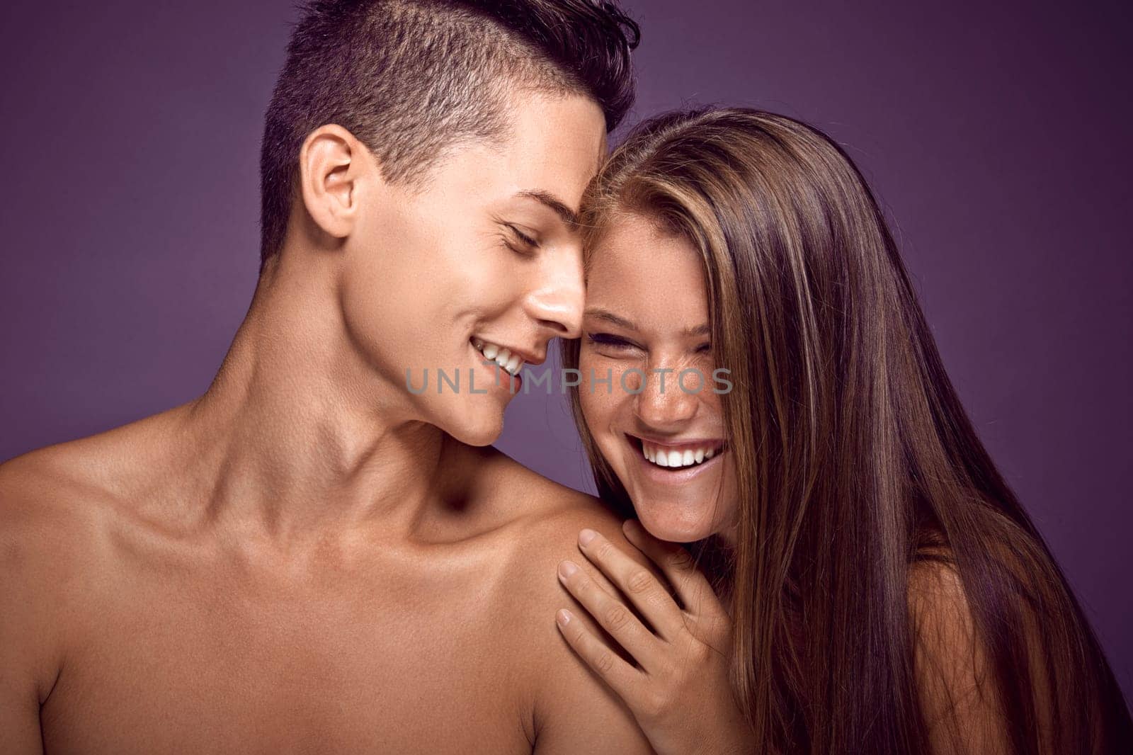
Fashion portrait of young beautiful couple
Stock PhotoUsername
drmglcResolution
5866x3911pxFashion portrait of young beautiful couple
Beauty portrait of young sexy woman
Stock PhotoUsername
drmglcResolution
5586x3724pxBeauty portrait of young sexy woman
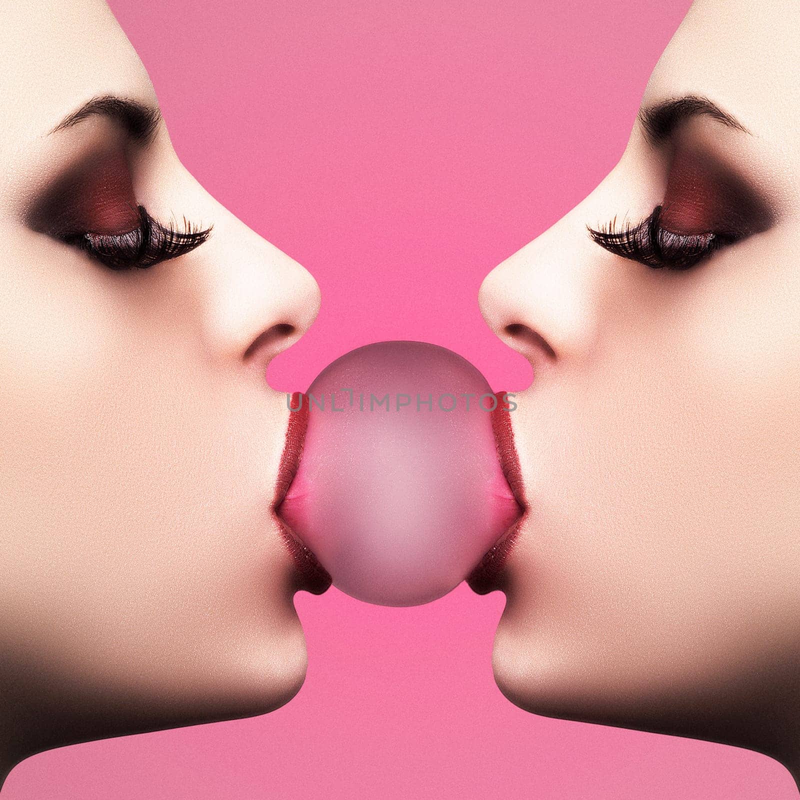
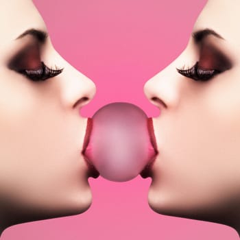
Sexy bubble girl
Stock PhotoUsername
drmglcResolution
2804x2804pxSexy bubble girl
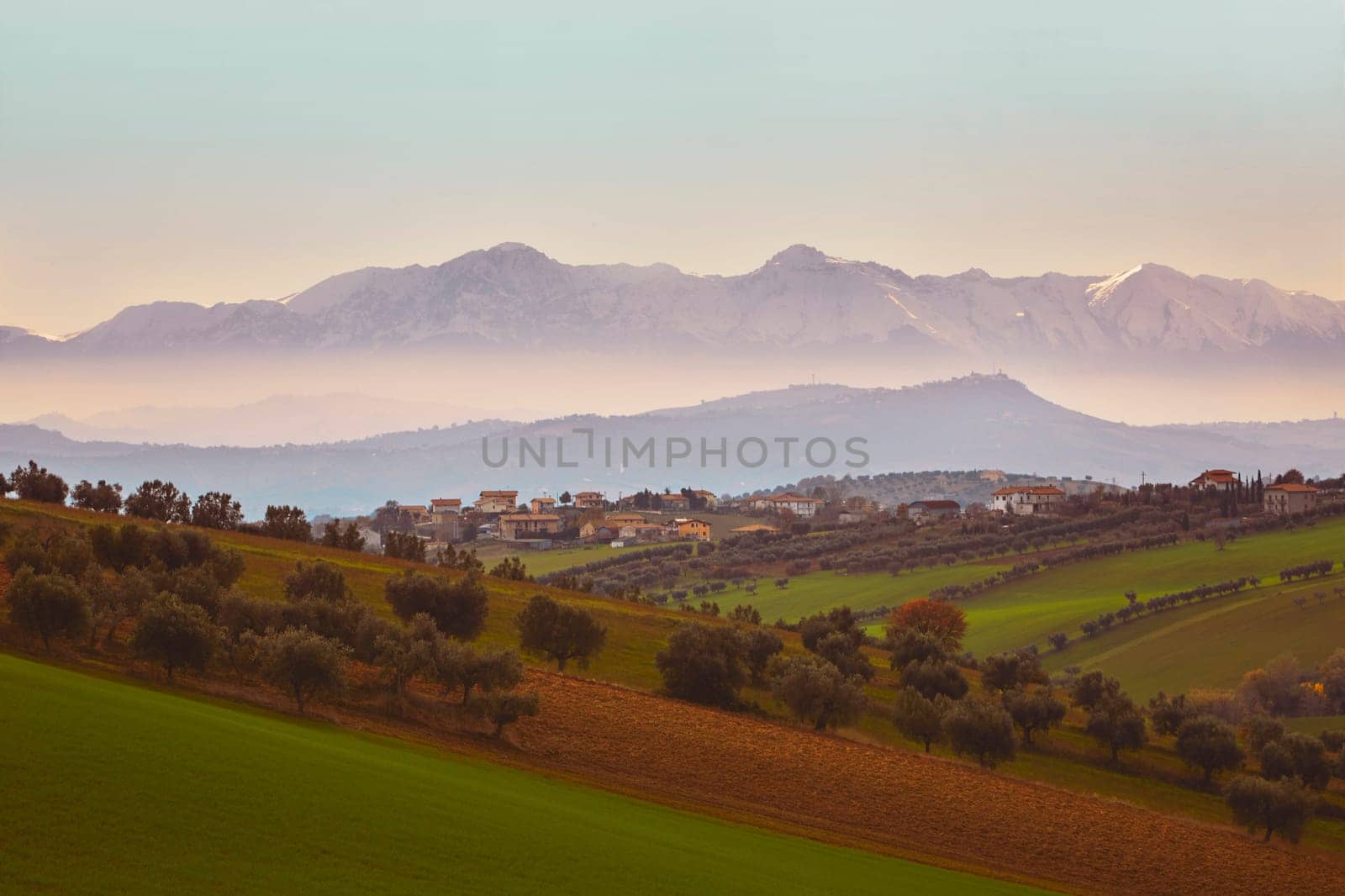
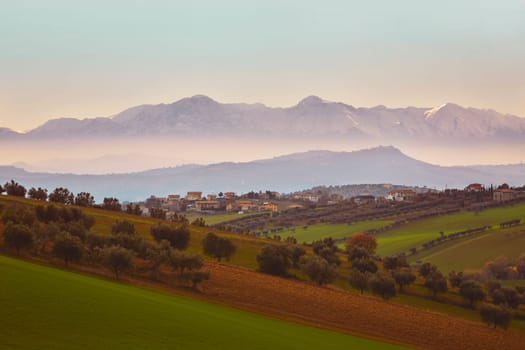
Panorama of the Italian countryside with misty and snowy mountains
Stock PhotoUsername
drmglcResolution
5866x3911pxPanorama of the Italian countryside with misty and snowy mountains
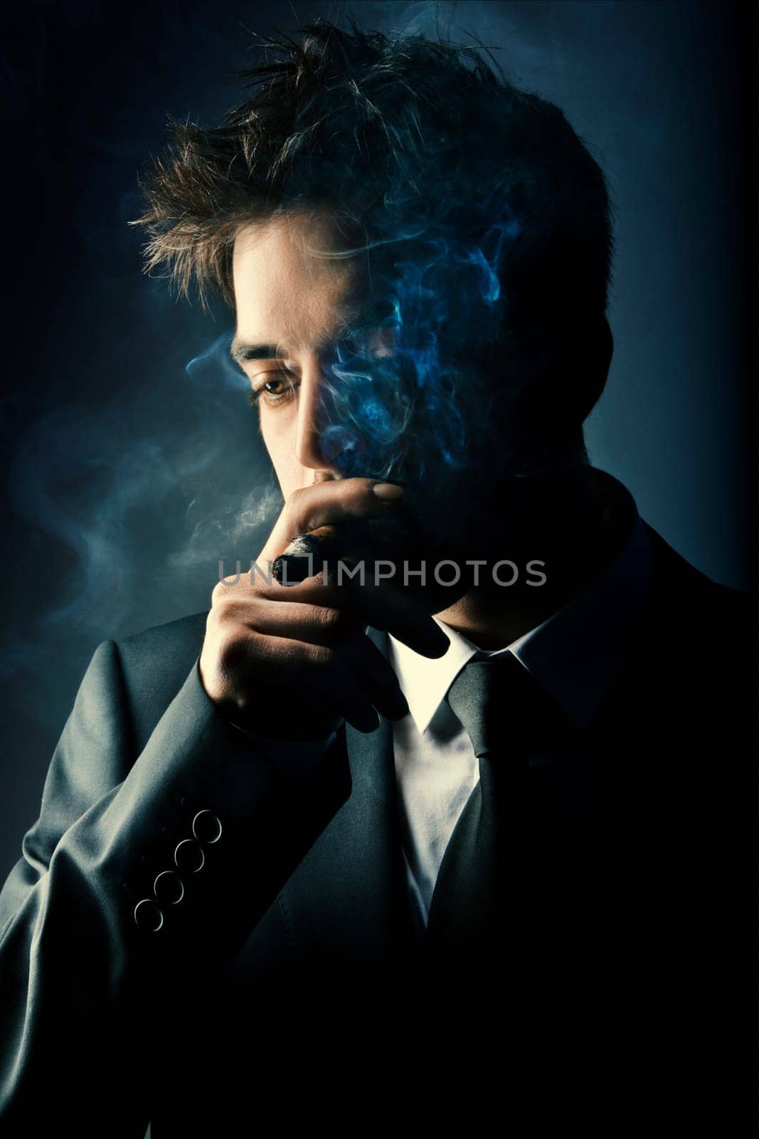
Young handsome stylish man smoking cigar
Stock PhotoUsername
drmglcResolution
3840x5760pxYoung handsome stylish man smoking cigar

Young beauty teen couple sharing tender moments
Stock PhotoUsername
drmglcResolution
5866x3911pxYoung beauty teen couple sharing tender moments

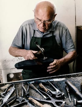
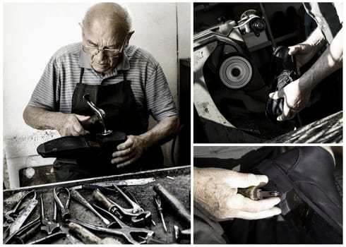
Shoemaker
Stock PhotoUsername
drmglcResolution
3700x4797pxShoemaker
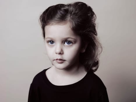
Close up headshot portrait of smiling little girl
Stock PhotoUsername
drmglcResolution
6271x4703pxClose up headshot portrait of smiling little girl

Beautiful young woman portrait, close up outdoor
Stock PhotoUsername
drmglcResolution
5585x3723pxBeautiful young woman portrait, close up outdoor
beautiful cherry blossom in spring
Stock PhotoUsername
drmglcResolution
8256x6192pxbeautiful cherry blossom in spring

Beautiful young woman portrait, close up outdoor
Stock PhotoUsername
drmglcResolution
5586x3724pxBeautiful young woman portrait, close up outdoor
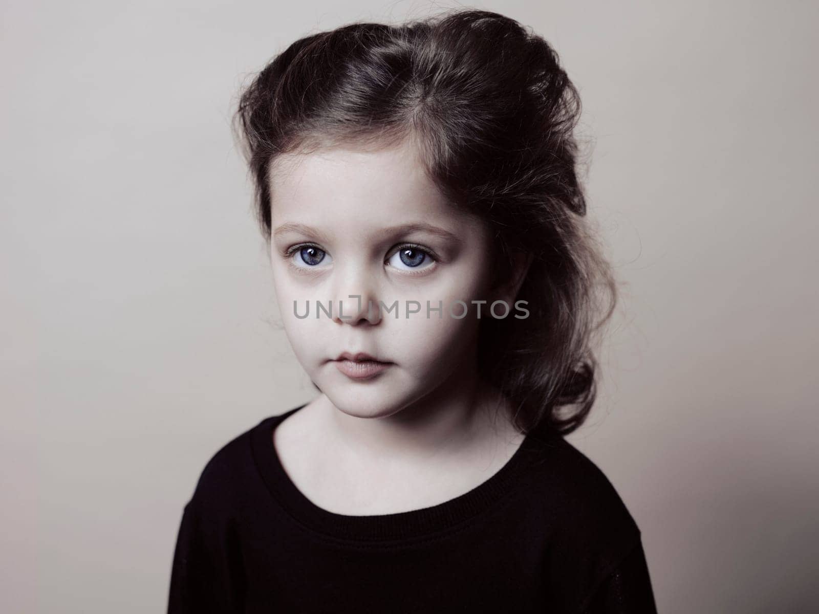
Portrait of little girl isolated on grey studio background
Stock PhotoUsername
drmglcResolution
6192x8256pxPortrait of little girl isolated on grey studio background

Antique floral tea set
Stock PhotoUsername
drmglcResolution
5760x3840pxAntique floral tea set


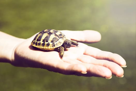
Small turtle in the palm of hand
Stock PhotoUsername
drmglcResolution
5760x3840pxSmall turtle in the palm of hand
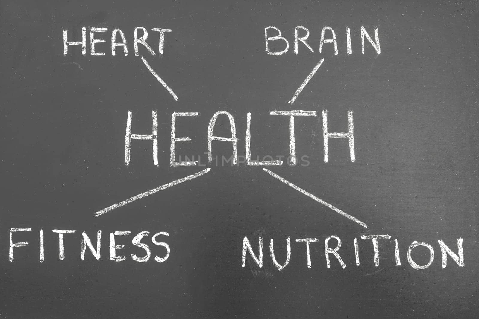
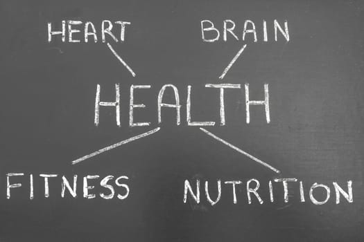
Healthy Lifestyle Background
Stock PhotoUsername
drmglcResolution
5760x3840pxHealthy Lifestyle Background

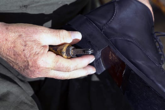
Shoemaker
Stock PhotoUsername
drmglcResolution
4823x3468pxShoemaker


Shoemaker
Stock PhotoUsername
drmglcResolution
4987x3325pxShoemaker

Traditional Business Composition
Stock PhotoUsername
drmglcResolution
6000x4294pxTraditional Business Composition

Jack Russel Puppy
Stock PhotoUsername
drmglcResolution
4667x3111pxJack Russel Puppy


Shoemaker
Stock PhotoUsername
drmglcResolution
4987x3325pxShoemaker

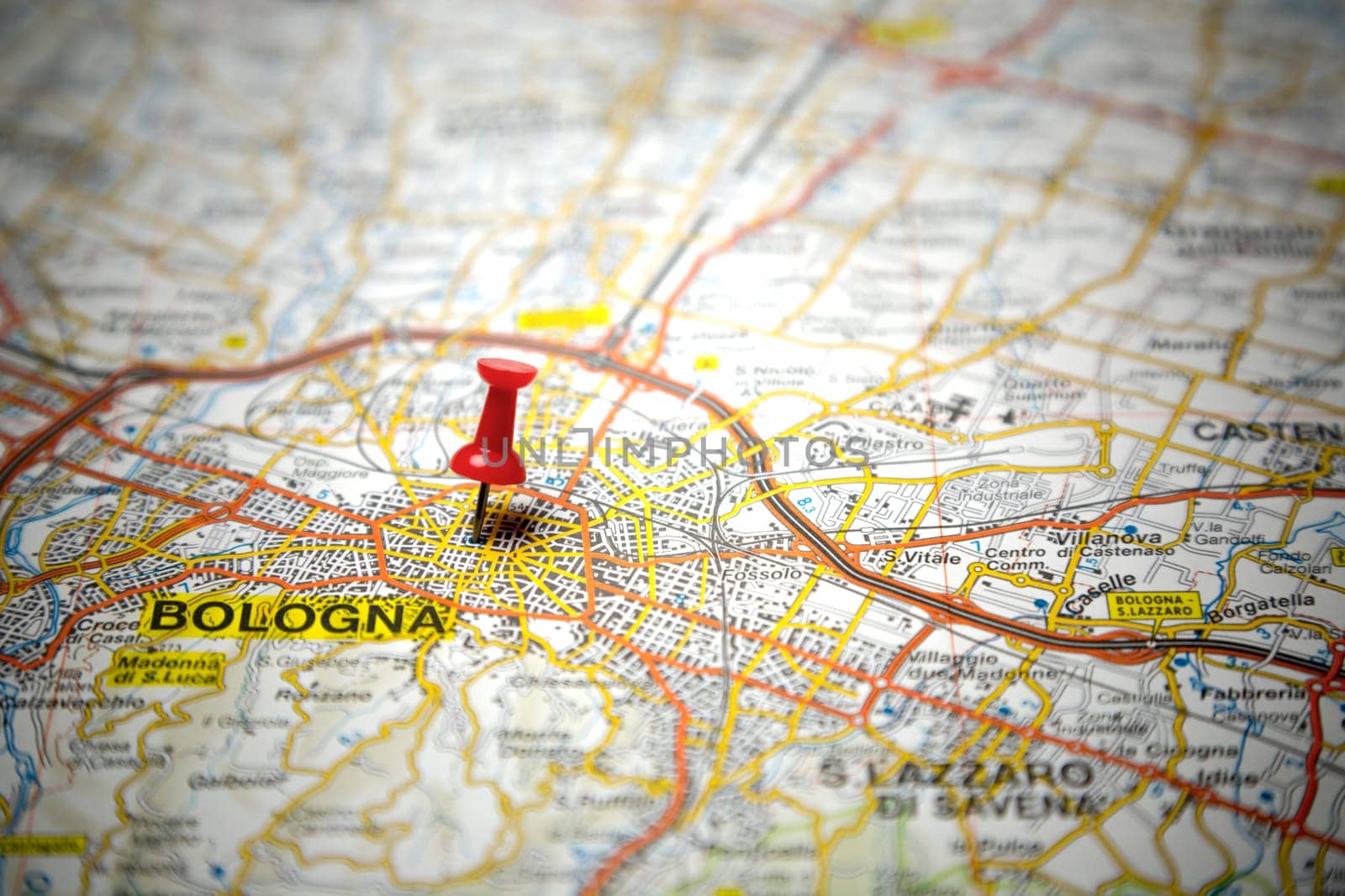
Road map of Bologna
Stock PhotoUsername
drmglcResolution
5760x3840pxRoad map of Bologna

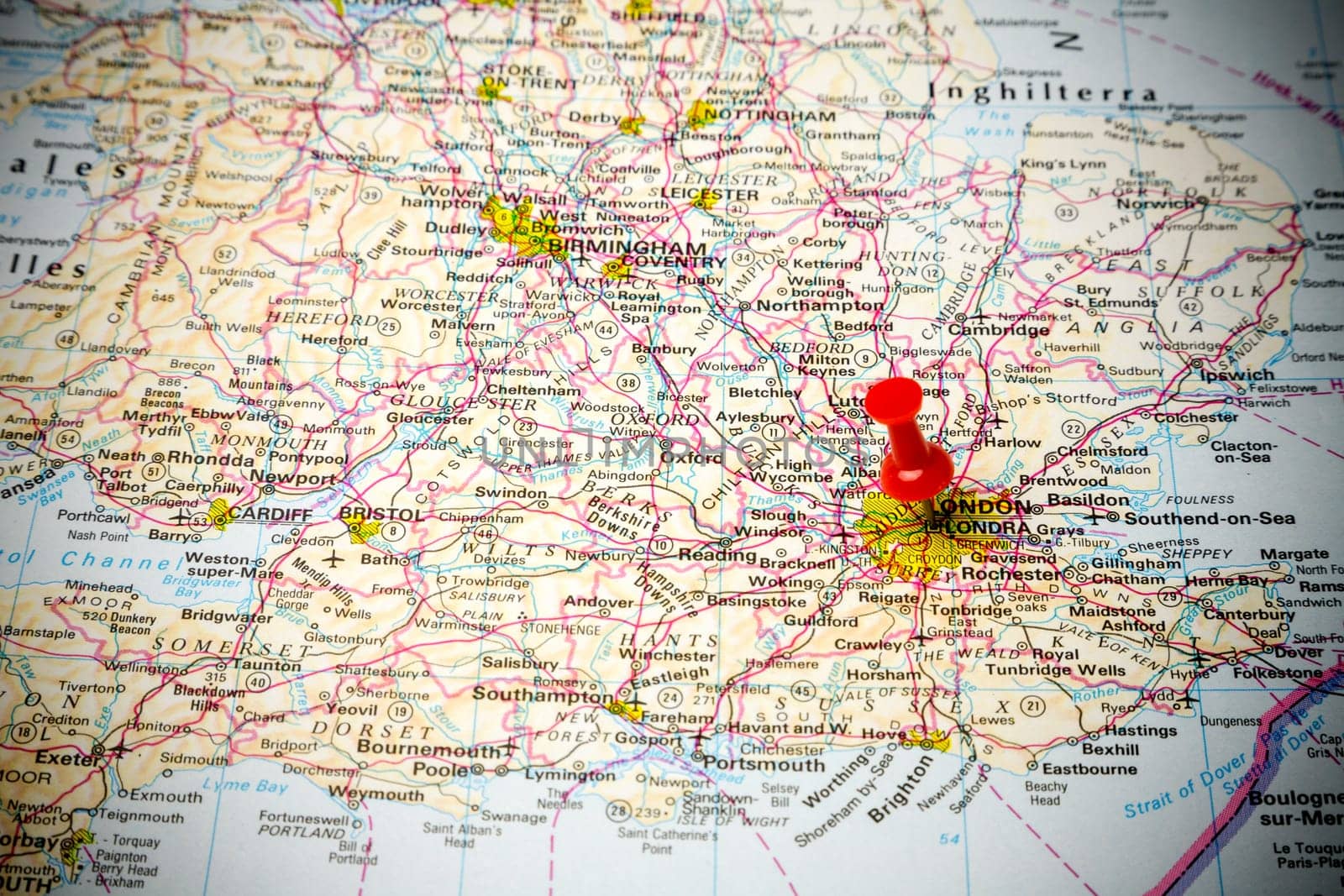
Road map of England
Stock PhotoUsername
drmglcResolution
5760x3840pxRoad map of England


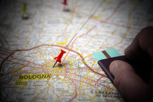
Road map of Bologna
Stock PhotoUsername
drmglcResolution
5760x3840pxRoad map of Bologna

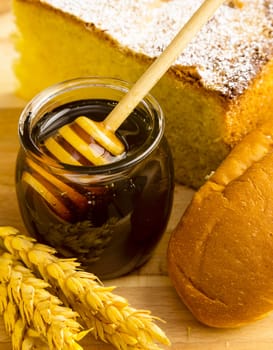
Healthy jar of honey with bakery products
Stock PhotoUsername
drmglcResolution
3618x4644pxHealthy jar of honey with bakery products

Person pours a glass of fresh milk
Stock PhotoUsername
drmglcResolution
5760x3769pxPerson pours a glass of fresh milk


Milk background
Stock PhotoUsername
drmglcResolution
3192x3192pxMilk background


Pouring a healty glass of fresh milk
Stock PhotoUsername
drmglcResolution
5791x3769pxPouring a healty glass of fresh milk


Tomato Background
Stock PhotoUsername
drmglcResolution
5760x3840pxTomato Background


Farmer holding in hands a chick
Stock PhotoUsername
drmglcResolution
5760x3840pxFarmer holding in hands a chick


All over the world in your hand!
Stock PhotoUsername
drmglcResolution
3427x3408pxAll over the world in your hand!


Earth's City Lights
Stock PhotoUsername
drmglcResolution
2458x2458pxEarth's City Lights


United States City Lights
Stock PhotoUsername
drmglcResolution
4245x4245pxUnited States City Lights


Europe City Lights
Stock PhotoUsername
drmglcResolution
3402x3402pxEurope City Lights


Earth's City Lights
Stock PhotoUsername
drmglcResolution
6000x3523pxEarth's City Lights

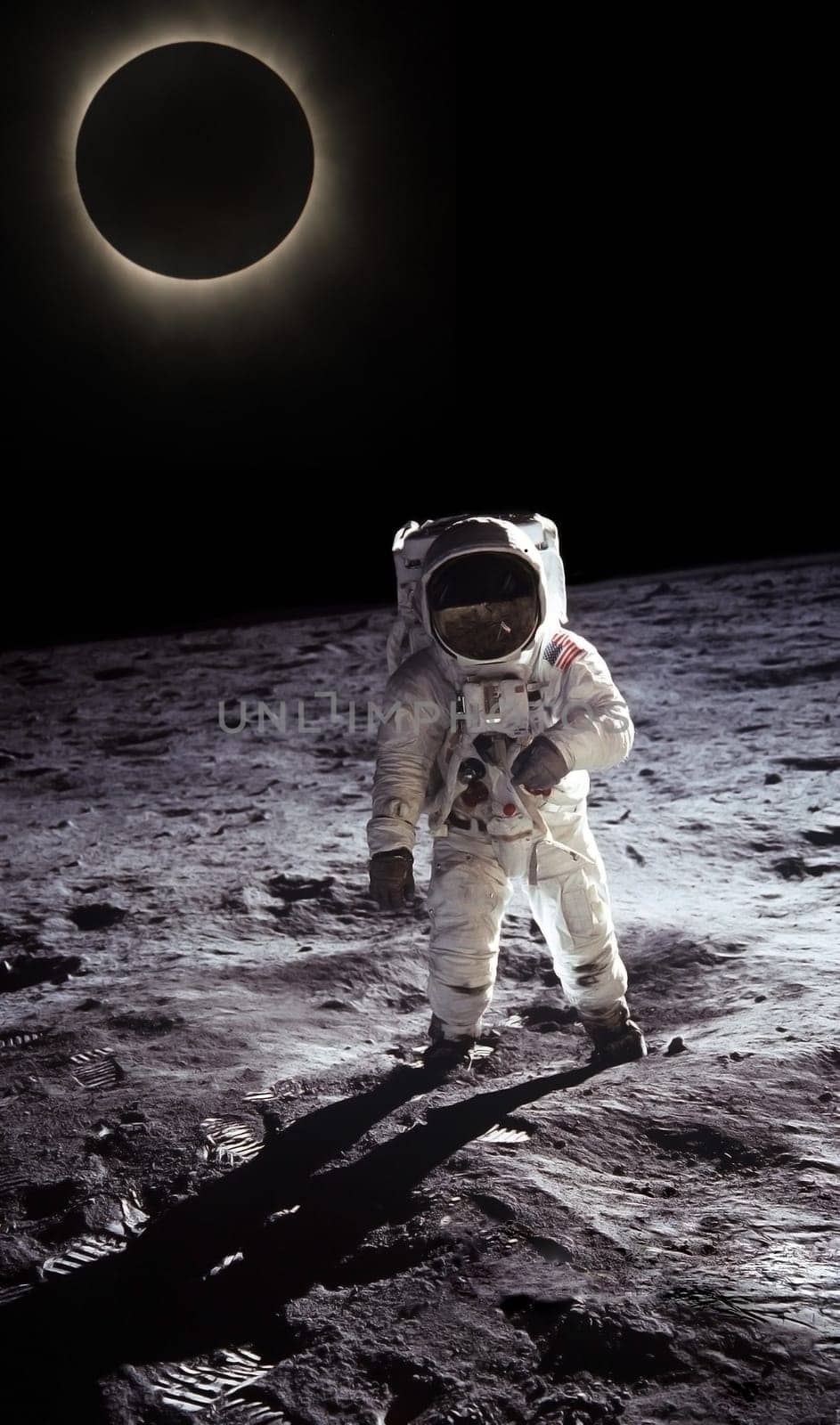
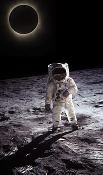
Astronaut walking on the moon
Stock PhotoUsername
drmglcResolution
2386x4048pxAstronaut walking on the moon

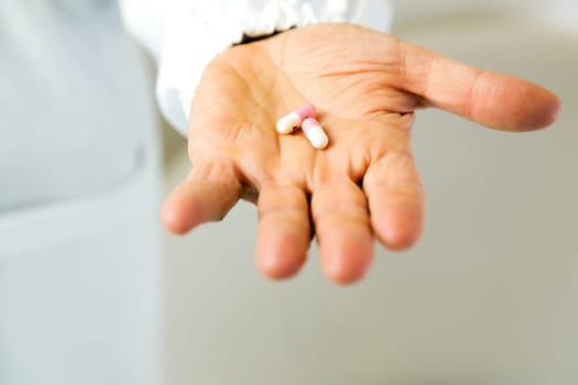
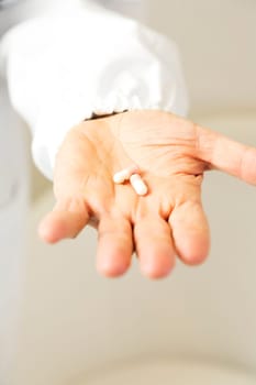
Doctor holding pills against anxiety
Stock PhotoUsername
drmglcResolution
3840x5760pxDoctor holding pills against anxiety
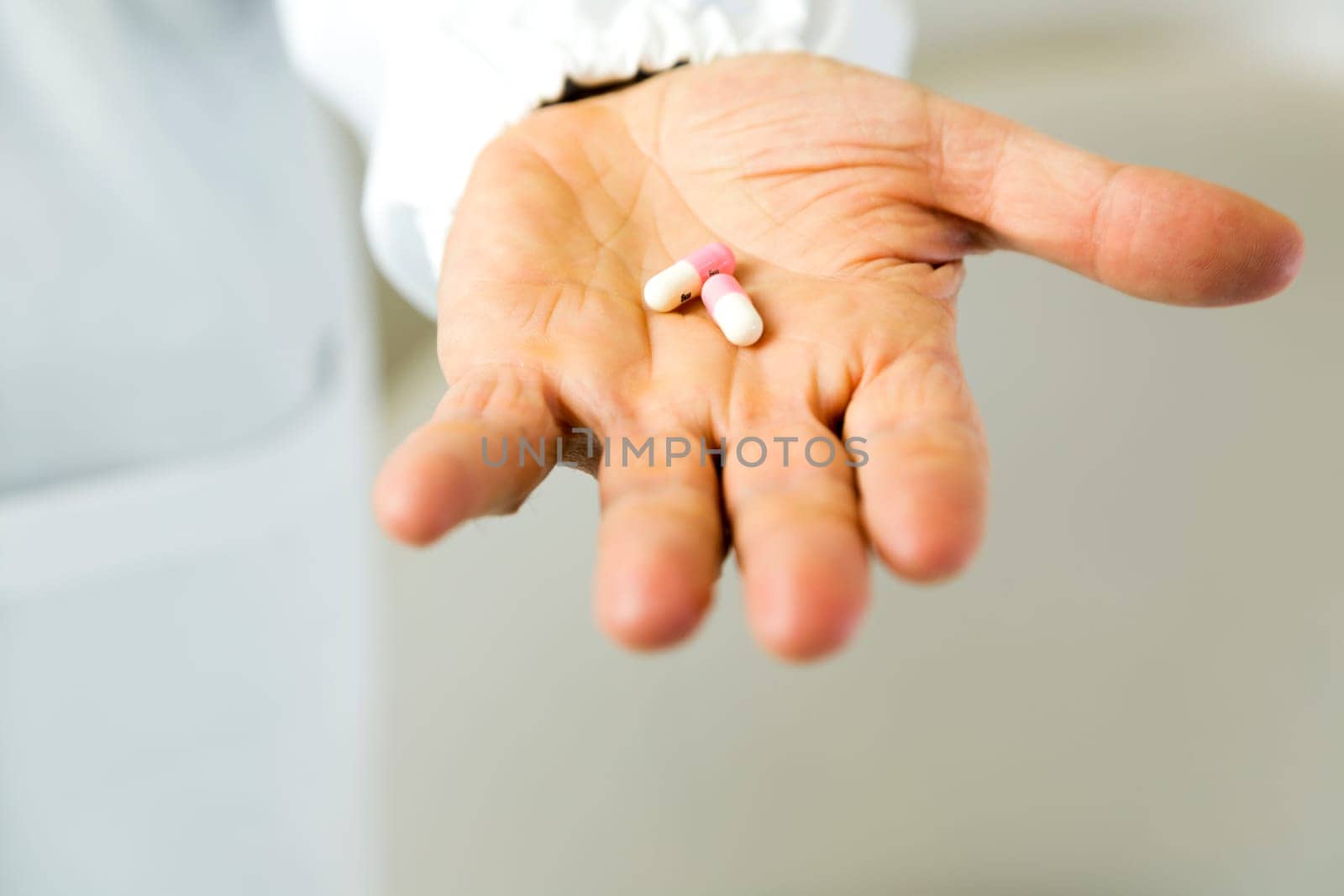
Doctor holding pills against anxiety
Stock PhotoUsername
drmglcResolution
5760x3840pxDoctor holding pills against anxiety