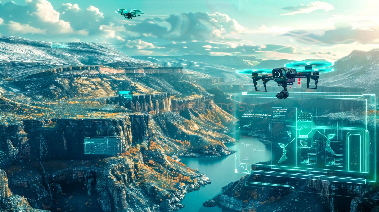
Drone flying over canyon capturing aerial data with augmented reality software Stock Image
by Edophoto
Description
Drone captures aerial data and uses augmented reality software to map and analyze a stunning canyon landscape, providing a unique perspective of the environment
Legal
-
Royalty Free License
The license type determines how you can use this image.

Std. Ext. Print / Editorial Graphic Design Web Design Social Media Edit & Modify Multi-user Resale Items 1 Unlimited Runs - Please see licensing information by clicking here
Keywords
- drone
- aerial
- data
- technology
- innovation
- landscape
- canyon
- river
- nature
- scenery
- flight
- sky
- clouds
- mountain
- valley
- view
- scenic
- travel
- adventure
- exploration
- remote
- control
- wireless
- device
- equipment
- software
- augmented
- reality
- mapping
- analysis
- surveying
- digital
- futuristic
- information
- monitoring
- environment
- research
- science