tool for carrying out geodetic work Stock Image
by Ladouski
Description
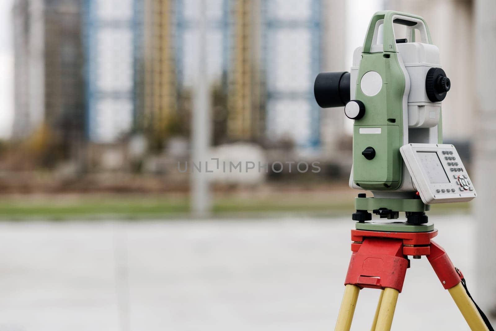
Optical level. A tool for carrying out geodetic work and measuring the difference in height between points on a plane. Copy space
Legal
-
Royalty Free License
The license type determines how you can use this image.

Std. Ext. Print / Editorial Graphic Design Web Design Social Media Edit & Modify Multi-user Resale Items 1 Unlimited Runs - Please see licensing information by clicking here
Keywords
- engineering
- measurement
- instrument
- level
- tool
- geodesy
- cartography
- engineer
- land
- laser
- measure
- station
- topography
- total
- worker
- device
- surveyor
- work
- accuracy
- industry
- technology
- equipment
- tripod
- geodesist
- geodetic
- surveying
- theodolite
- builder
- calculate
- construct
- contractor
- examination
- highway
- horizontal
- inspection
- map
- optical
- position
- precision
- professional
- project
- service
- site
- survey
- workplace
- build
- construction site
- copy space